Where is Silom in Bangkok? Silom is the business district that grows up around Silom Road in Bang Rak, in the center of the city. The road runs from Rama IV Road, facing the corner of Lumphini Park, west toward Charoen Krung Road near the Chao Phraya River, and the BTS Silom Line follows much of it overhead.
On a map, look south of Siam and the big shopping malls, north of Sathorn Road and east of the river. The streets you will see in addresses are Silom Road itself, Surawong Road to the north, Sathorn Road to the south, and the numbered lanes (sois) that link them, such as Soi Silom 7. This guide explains where Silom sits, the landmarks that anchor each end, and the stations and piers that make it easy to reach.
Silom on the map: Bang Rak district
Silom is an area and a subdistrict rather than a district of its own. Official addresses read "Si Lom, Bang Rak, Bangkok 10500", which is why you will see Bang Rak on hotel and restaurant listings for places that everyone calls Silom. The area's eastern edge is the busy Rama IV Road junction by Lumphini Park, and its western edge is the old trading quarter along Charoen Krung Road, a short walk from the river.
Between those two points Silom is mostly offices, banks, hotels, hospitals, schools and shophouses, with some of the city's tallest towers near its middle. It sits right next to Sathorn, the embassy and business district immediately to the south, and the two are often spoken of together as Silom-Sathorn. If you are comparing it with other bases, our guide to where Sukhumvit is in Bangkok covers the other main hotel corridor, and things to do in Sathorn covers the neighbor to the south.
Landmarks that anchor Silom
The Lumphini Park end
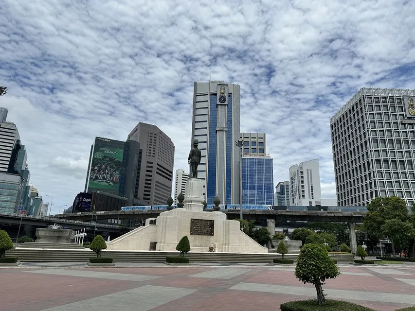
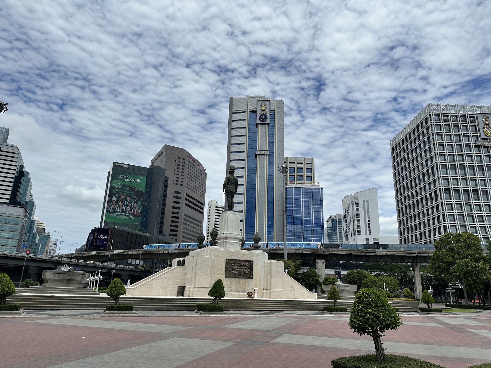
The eastern end of Silom Road meets Rama IV Road opposite the corner of Lumphini Park, the large public park with a lake at its center. The BTS describes its Silom Line as running along Silom Road and passing Lumpini Park, and it is the easiest landmark for getting your bearings: if the park is in front of you, you are at the Rama IV end.
Hotels on South Sathorn Road, such as The Sukhothai Bangkok and Banyan Tree Bangkok, sit a few blocks south of this corner and use the same stations.
The middle: Chong Nonsi and King Power Mahanakhon
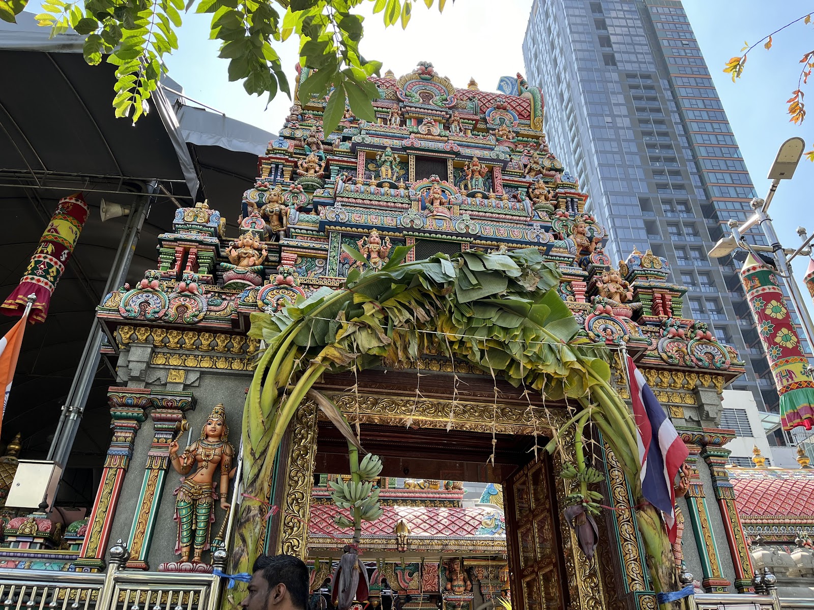
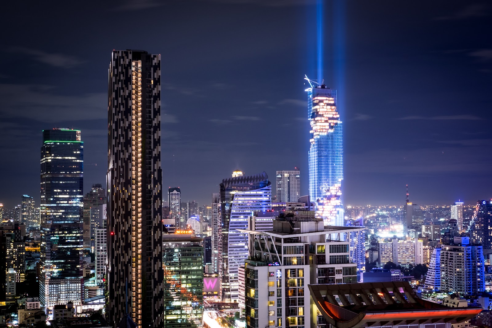
Where Narathiwas Ratchanakarin Road crosses the area, the pixelated King Power Mahanakhon tower rises beside BTS Chong Nonsi. Its operator gives Exit 3 of Chong Nonsi as the way in to the Mahanakhon SkyWalk observation deck, and the tower describes its location as the heart of Silom-Sathorn. Further west along Silom Road, the Sri Maha Mariamman Temple, a Hindu temple also known as Wat Khaek, stands on Pan Road just off the main road, its tall carved gateway one of the most recognizable sights on the street.
The river end: Charoen Krung
At the western end, State Tower stands at 1055 Silom Road, topped by a golden dome. It holds the hotel lebua at State Tower and the open-air restaurant Sirocco on the 64th floor, and lebua puts Saphan Taksin BTS station roughly five minutes' walk away. From here Charoen Krung Road runs along the river side of Bang Rak, and the Assumption Cathedral sits down Soi Charoen Krung 40, close to the water.
Getting to and around Silom
BTS Skytrain: the Silom Line
The BTS Silom Line is the backbone of the area. According to the BTS, the line crosses the Chao Phraya at Saphan Taksin, runs to Sathorn Road, curves above Chong Nonsi and then follows Silom Road past Lumphini Park before turning up Ratchadamri Road to Siam, where it meets the Sukhumvit Line. The stations visitors use most in and around Silom are:
- Sala Daeng, on Silom Road at the Lumphini Park end.
- Chong Nonsi, in the middle, beside King Power Mahanakhon.
- Surasak, toward the western end, on the Sathorn side.
- Saphan Taksin, by the river and Sathorn Pier.
MRT Blue Line
MRT Silom station sits beside Lumphini Park, about 400 meters in a straight line from BTS Sala Daeng, and the two are used as an interchange. MBK Center's own directions, for example, tell MRT riders to change at MRT Silom and continue from BTS Sala Daeng.
By boat
Sathorn Pier, next to BTS Saphan Taksin, is the river end of the corridor. The Chao Phraya Express Boat lists several routes that run to Sathorn, which makes the boat a practical way to reach the Old City and the Grand Palace area from Silom without sitting in traffic. Riverside hotels such as Shangri-La Bangkok and Mandarin Oriental, Bangkok are on this side of Bang Rak.
How big is Silom?
Silom is compact by Bangkok standards. BTS Sala Daeng, at the Lumphini Park end, is about 2.5 kilometers in a straight line from Sathorn Pier on the river, so the whole corridor is roughly four Skytrain stops long. That makes it a practical base for a first visit: the Skytrain reaches Siam's malls in a few stops, and the river boats reach the temples of the Old City.
Who stays in Silom?
Business travelers like it for the offices and banks, and first-time visitors like it because it sits between the two things most people want to reach: the shopping streets around Siam to the north and the river to the west. If a restaurant is the reason for your trip, Le Du, the modern Thai restaurant on Soi Silom 7, is in the middle of the area. For more hotel options across the city, browse our Bangkok hotels.
Sources: BTS SkyTrain, structure and stations, MBK Center, how to go, King Power Mahanakhon, location, lebua at State Tower, Le Du, The Sukhothai Bangkok, location, Chao Phraya Express Boat. Station, pier and temple locations from Google Maps. Checked September 26, 2026.
Not officially. Silom is a subdistrict (khwaeng Si Lom) of Bang Rak district, and the name is used for the whole area around Silom Road. Addresses there usually end in Bang Rak, Bangkok 10500.
Sala Daeng serves the Lumphini Park end of Silom Road, and Chong Nonsi serves the middle of the area. Surasak and Saphan Taksin serve the western end toward the river.
Yes. MRT Silom on the Blue Line is beside Lumphini Park, about 400 meters in a straight line from BTS Sala Daeng, and the two stations are used as an interchange.
Take the BTS Silom Line north from Sala Daeng. It runs past Lumphini Park and up Ratchadamri Road to Siam, where it meets the Sukhumvit Line. National Stadium, for MBK Center, is the next stop after Siam.
Ride the BTS Silom Line to Saphan Taksin, which is next to Sathorn Pier. Chao Phraya Express Boat routes run from Sathorn up the river toward the Old City.
No, but they are neighbors. Sathorn is the district and road immediately south of Silom, and the two are often described together as Silom-Sathorn.