Why is Bangkok sinking? Mainly because of groundwater pumping. The city sits on a thick layer of soft marine clay, known as Bangkok Clay, on the flat delta of the Chao Phraya River, and when water was pumped out of the aquifers beneath it, the clay compressed and the ground surface dropped. Researchers trace the problem to the early 1960s, when rapid growth drove heavy deep-well pumping. Pumping controls have slowed it since, but satellite measurements show that parts of Bangkok and its neighboring provinces are still sinking by millimeters to a few centimeters a year.
For a city that stands only about 0.5 to 1.5 meters above mean sea level, that matters. This guide explains the causes, what the measured rates are, how it connects to flooding, and what it means, realistically, for a visitor.
The cause: soft clay and too much groundwater
Bangkok is built on a deltaic plain. A 1996 paper in the Quarterly Journal of Engineering Geology describes the city as lying at ground elevations of between 0.5 and 1.5 meters above mean sea level, with some areas lower still, and underlain by the very soft to soft Bangkok Clay over stiffer clays and layers of sand and gravel. Those deeper sand and gravel layers are aquifers, and for decades they supplied much of the city's water.
The same paper, citing an Asian Institute of Technology report, says subsidence began to be felt in the early 1960s as population growth led to excessive deep-well pumping. By the 1990s there were around 15,000 tube wells drilled through the upper 200 meters of deposits. When water pressure in the aquifers falls, water is squeezed out of the clay layers above and between them, and the clay compacts. Much of that compaction is permanent, so the ground does not recover its height when pumping stops.
Groundwater extraction is the cause researchers consistently identify. A 2020 study comparing the two sides of the Chao Phraya found more subsidence in eastern Bangkok, where far more groundwater wells were found, and concluded that pumping is a significant factor.
How fast is Bangkok sinking?
Rates vary a great deal from place to place, which is why a single headline number can mislead. Satellite radar (InSAR) has made it possible to measure hundreds of thousands of points rather than a few survey benchmarks:
- Central Bangkok: a Chulalongkorn University study using radar images from October 2005 to March 2010 found central Bangkok, east of the Chao Phraya, subsiding slowly, at around 10 mm a year or less.
- Suburban Bangkok: the same study measured 10 to 20 mm a year in northern and western suburbs, and identified fast-sinking areas in Saphan Sung and Lat Krabang districts that ground surveys had missed.
- Neighboring provinces: the fastest rates, 20 to 30 mm a year, were in Mueang Samut Prakan and Lam Luk Ka in Pathum Thani, just outside the city.
- More recently: a 2024 study of Bang Kapi district using Sentinel-1 satellite images from 2017 to 2022 recorded up to 125 mm of cumulative subsidence over the study period.
In short, most of Bangkok is sinking by millimeters to a couple of centimeters a year, and the outer east and the coastal province of Samut Prakan are among the most affected areas.
What Thailand has done about it
According to Thailand's Department of Groundwater Resources, the Groundwater Act was enforced in 1977 to control groundwater licensing and use in Bangkok and its vicinity, and in 1994 it was extended to the whole country. Research continues on how much pumping the aquifers can safely bear.
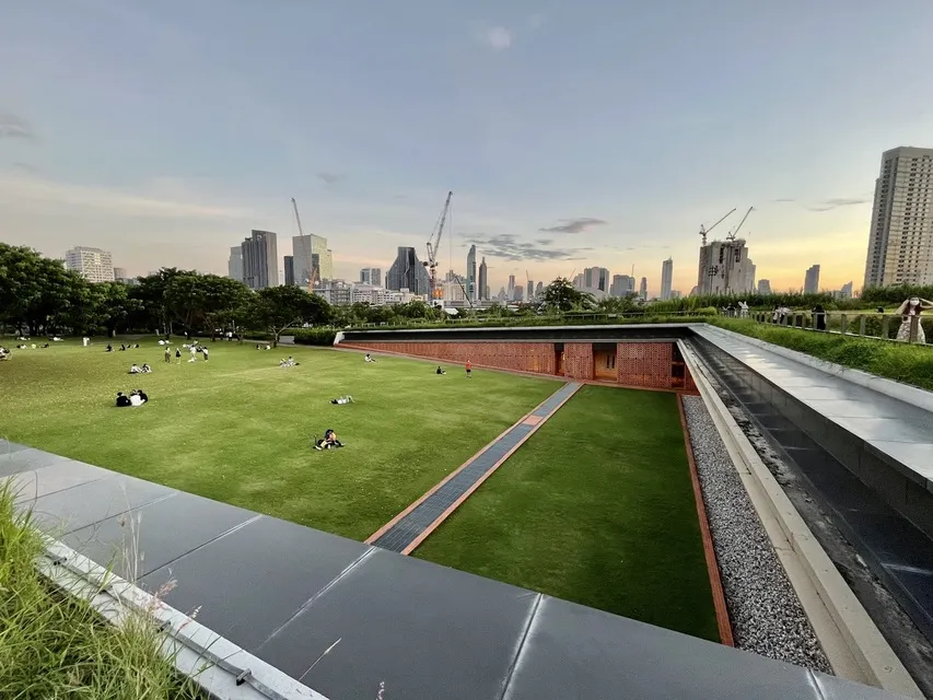
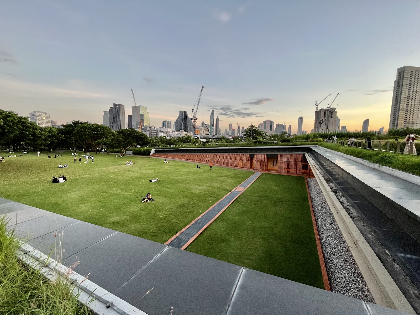
The city is also adding places to hold rainwater. Benjakitti Forest Park was designed as a wetland forest whose four ponds hold up to 128,000 cubic meters of water, partly to ease flooding. Chulalongkorn University Centenary Park, built to mark the university's 100th anniversary in 2017, was designed as green infrastructure that helps manage rainwater and reduce flooding, and won an Award of Excellence at the 2019 World Landscape Architecture Awards.
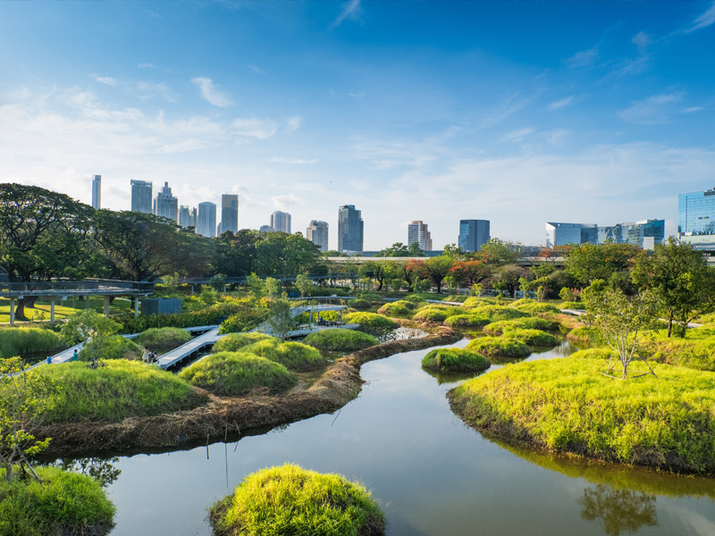
Both are pleasant places to see the idea in practice; Lumphini Park connects to Benjakitti by an elevated green bridge.
Subsidence, flooding and sea level
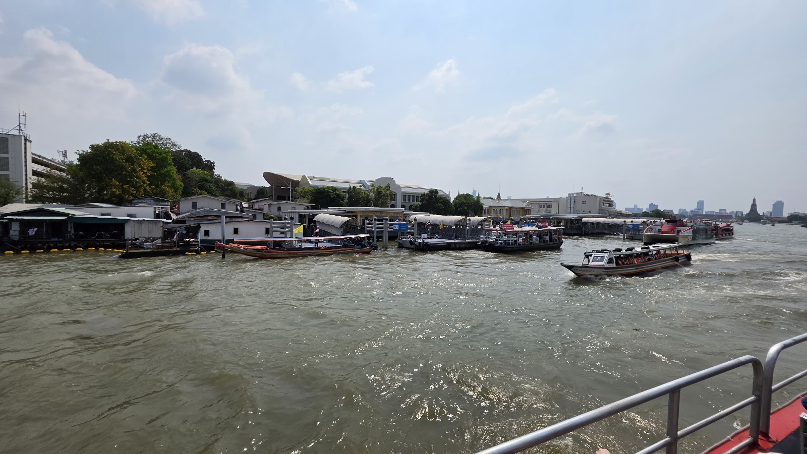
Subsidence on its own is slow. The risk comes from combining it with heavy rain, high river levels and rising seas. The 2011 floods showed what a major flood looks like: the flooding began in late July, spread across northern and central Thailand, and in October reached the mouth of the Chao Phraya and inundated parts of Bangkok. It persisted in some areas until mid-January 2012.
Looking ahead, researchers model how relative sea-level rise, which includes subsidence, affects the delta. A 2026 modeling study presented at the European Geosciences Union found that coastal districts such as Samut Prakan and Samut Sakhon face very high probabilities of land loss by 2100 under moderate and high emissions scenarios. These are projections, not predictions for any given year, but they explain why subsidence is treated as a long-term planning problem.
What it means if you are visiting
Bangkok is not going to sink during your trip. Subsidence happens over years, and you will not notice it. What you may notice, particularly in the rainy season (roughly May to October), is street flooding after a heavy downpour, when water can collect on low-lying roads and sois for a while before it drains.
- Use the rail network in a storm. The BTS Skytrain runs above the streets and the MRT mostly below them, so neither depends on flooded roads, and taxis can be hard to find in heavy rain.
- Allow extra time for airport runs and bookings on wet afternoons.
- Wear shoes you do not mind getting wet, and avoid wading through floodwater where you cannot see the ground.
- Watch local news in a major flood year. The 2011 flood built up over weeks before it reached the city, so there is usually time to adjust plans.
- Choose a hotel near a station if you are traveling in the wettest months; our Bangkok hotel guide covers hotels by neighborhood.
For things to do on a dry day, see our guide to Bangkok attractions.
Sources: Eddleston, Structural damage associated with land subsidence caused by deep well pumping in Bangkok, Quarterly Journal of Engineering Geology (1996), Chulalongkorn University, InSAR time series analysis for land subsidence monitoring in Bangkok (2012), Evolution Pattern of Land Subsidence Using InSAR in Bangkapi, Journal of Current Science and Technology (2024), The Comparison of Land Subsidence between East and West Side of Bangkok, Built Environment Journal (2020), Department of Groundwater Resources, History of Groundwater Development in Thailand, Probabilistic Retreat and Population Risk in Subsiding Bangkok, EGU General Assembly (2026), Chulalongkorn University, CU Centenary Park, Chulalongkorn University, Centenary Park award, Wikipedia, 2011 Thailand floods. Checked September 26, 2026.
Mainly because groundwater was pumped from the aquifers beneath the city. Bangkok sits on soft marine clay, and as water pressure in the aquifers fell, the clay compacted and the ground dropped. Researchers trace the problem to heavy deep-well pumping from the early 1960s.
It varies by area. A Chulalongkorn University satellite study of 2005 to 2010 found central Bangkok sinking at around 10 mm a year or less, northern and western suburbs at 10 to 20 mm a year, and parts of Samut Prakan and Pathum Thani at 20 to 30 mm a year.
Most of the city lies between about 0.5 and 1.5 meters above mean sea level, and some areas are lower still, according to a 1996 study in the Quarterly Journal of Engineering Geology.
Not in the near term, and not during a visit. Long-term studies model rising land-loss risk for coastal districts such as Samut Prakan and Samut Sakhon by 2100 under moderate and high emissions scenarios, which is why subsidence and sea-level rise are treated as long-term planning problems.
The Groundwater Act was enforced in 1977 to control groundwater licensing and use in Bangkok and its vicinity and was extended nationwide in 1994, according to the Department of Groundwater Resources. The city has also built parks designed to hold rainwater, such as Benjakitti Forest Park and Chulalongkorn University Centenary Park.
Yes. Expect short-lived street flooding after heavy downpours, roughly May to October. Use the BTS and MRT on wet afternoons, allow extra time for airport trips, and avoid wading through floodwater.
Yes. The 2011 floods began at the end of July, spread through northern and central Thailand, reached the mouth of the Chao Phraya in October and inundated parts of Bangkok, persisting in some areas until mid-January 2012.