
What direction is Bangkok from Kuala Lumpur? Bangkok is almost due north of Kuala Lumpur, tilted very slightly to the west. On a compass, the straight line from Kuala Lumpur to Bangkok points at a bearing of about 354 degrees, which navigators would call north by west, and the distance along that line is roughly 1,190 kilometers (about 740 miles).
In practice, "north" is the whole answer for most trips: fly north for about 1,190 kilometers, or follow the Malay Peninsula north by rail or road. Below is how the two cities line up on the map, why the slight westward lean surprises people, and what the direction means if you are actually making the journey.
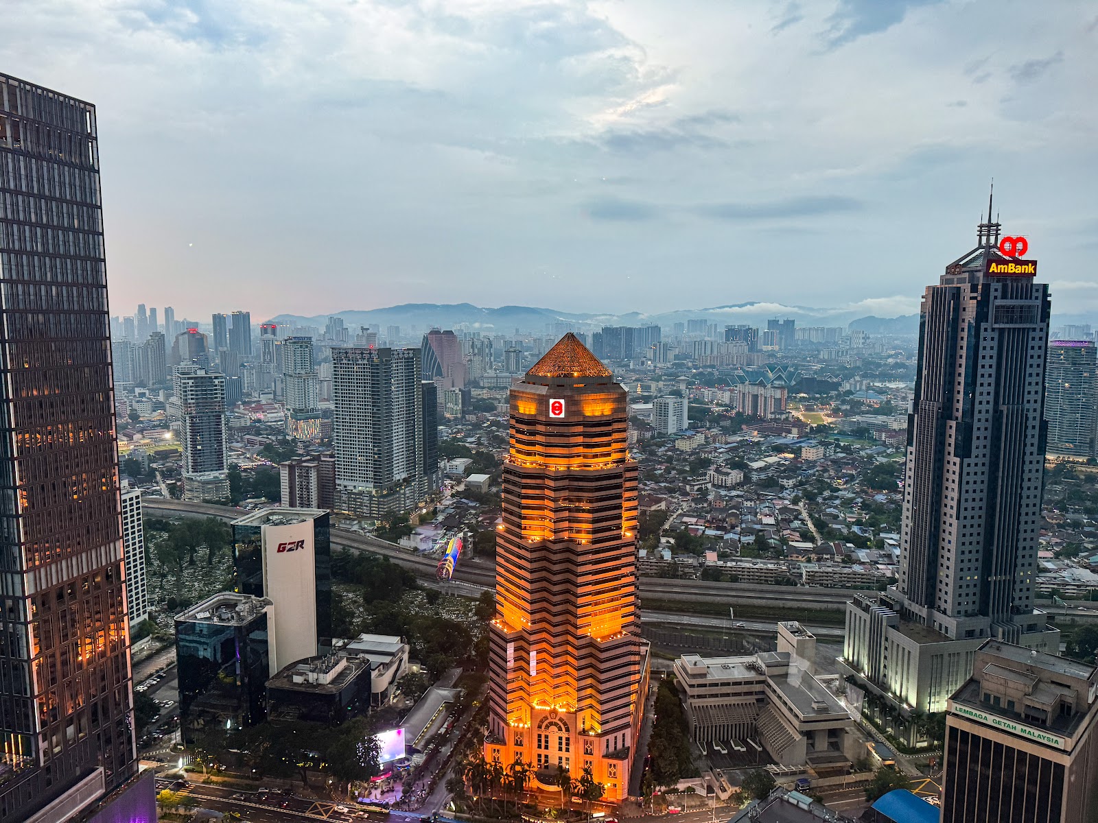
How Kuala Lumpur and Bangkok line up on the map
The GeoNames geographic database places central Kuala Lumpur at about 3.14 degrees north and 101.69 degrees east, and central Bangkok at about 13.75 degrees north and 100.50 degrees east. Two things follow from those numbers:
- Bangkok is about 10.6 degrees of latitude further north. One degree of latitude is roughly 111 kilometers, which is where almost all of the 1,190-kilometer distance comes from.
- Bangkok is about 1.2 degrees of longitude further west. Near the equator that is only around 130 kilometers of sideways shift, so the line between the cities barely leans away from true north.
We calculated the bearing (about 354 degrees) and the great-circle distance (about 1,187 kilometers) from those GeoNames coordinates. Going the other way, Kuala Lumpur is almost due south of Bangkok, at a bearing of about 174 degrees, or south by east.
Both cities are in the Northern Hemisphere, and both sit on the same stretch of Southeast Asia: Kuala Lumpur on the west side of the Malay Peninsula, Bangkok at the top of the Gulf of Thailand, where the peninsula joins the mainland. For more on Bangkok's place on the globe, see the absolute location of Bangkok and which hemisphere Bangkok is in.
Why many people expect Bangkok to be further east
On a map of Southeast Asia, Thailand's long southern tail and the Gulf of Thailand make the country look as if it sits to the east of Malaysia's west coast. In fact, Bangkok's longitude is slightly west of Kuala Lumpur's. The peninsula runs roughly north to south, curving a little, so a traveler heading from Kuala Lumpur to Bangkok spends almost the whole journey going north.
A useful way to picture it: if you drew a line straight up the map from Kuala Lumpur, it would pass a little east of Bangkok. At Bangkok's latitude, that line would run roughly 130 kilometers east of the city center, a small offset over a journey of nearly 1,200 kilometers, which is why "north" is the sensible short answer.
What the direction means for the trip
Flying north
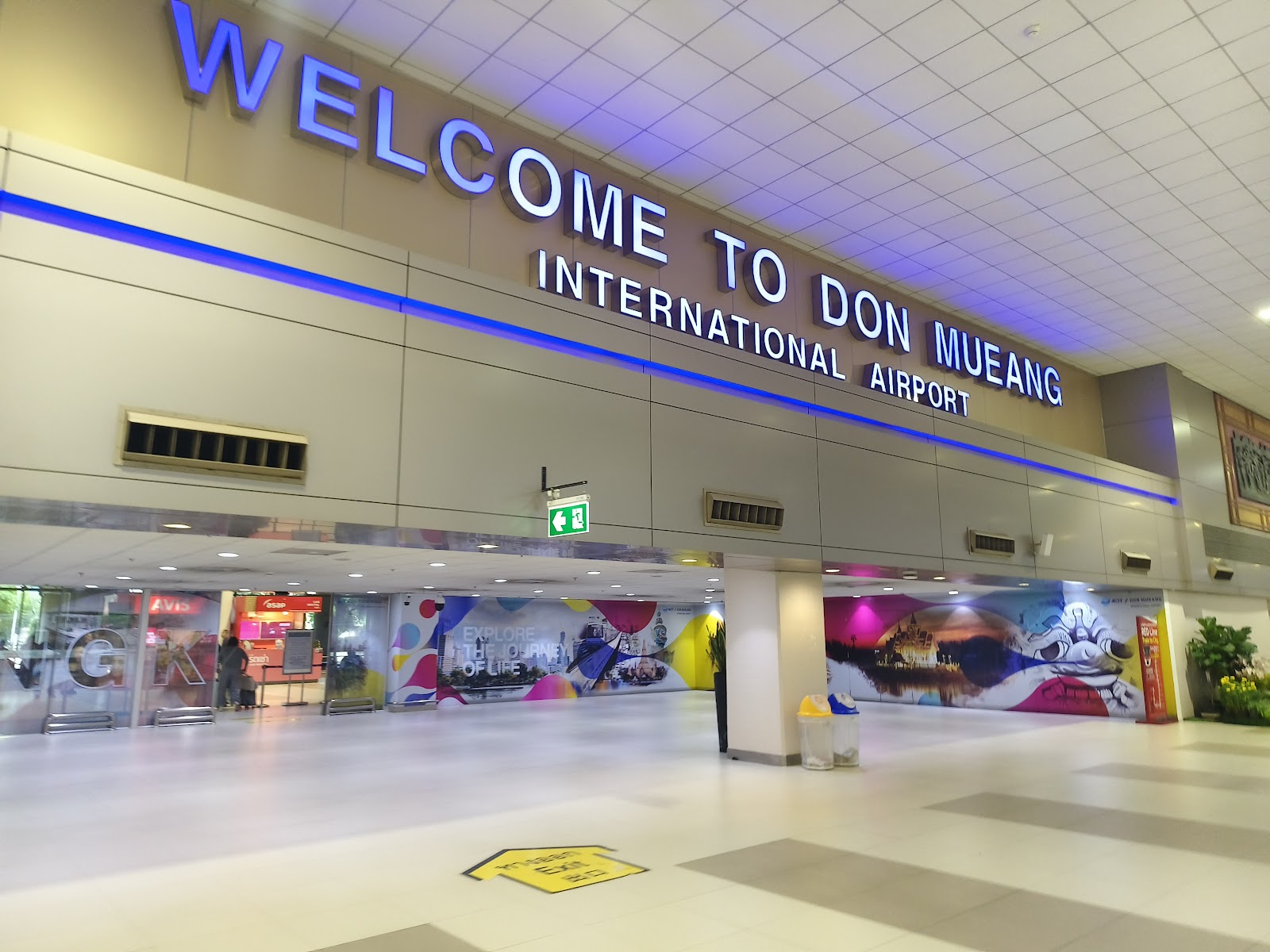
Flying is the quickest way to cover the distance. Thai Airways, for example, sells flights from Kuala Lumpur (KUL) to Bangkok Suvarnabhumi (BKK) on its own website, and other carriers fly the route too. Bangkok has two airports: Suvarnabhumi, which lies just outside the city limits in Samut Prakan province, and Don Mueang, which is inside the city in Don Mueang district. Our comparison of which Bangkok airport is better covers the differences, and there are separate guides for getting into town from Suvarnabhumi and from Don Mueang.
Going overland
By land, the route follows the peninsula north. In Malaysia, KTM's ETS electric trains run on the West Coast Line between Gemas and Padang Besar, the border station with Thailand. North of the border, the railway continues through Hat Yai towards Bangkok.
Check travel advice before you plan this route. As of September 26, 2026, the UK Foreign, Commonwealth and Development Office advises against all but essential travel to Pattani, Yala and Narathiwat provinces and four districts of southern Songkhla province, and against all but essential travel on the Hat Yai to Padang Besar train line, because of regular attacks in the provinces near the Malaysian border. Your own government's advice may differ, and it can affect your travel insurance. For most visitors, that makes flying the straightforward choice.
Where to stay once you arrive
Your arrival airport shapes the first taxi or train ride, but not much else: most visitors base themselves in the central districts along the rail lines or by the Chao Phraya River. Our Bangkok hotel listings cover properties from the riverside to Sukhumvit, and the Bangkok attractions section is a good place to start planning your first day.
Sources: GeoNames: Kuala Lumpur, GeoNames: Bangkok, Thai Airways: Kuala Lumpur to Bangkok, KTMB: ETS, UK FCDO Thailand travel advice. Bearing and distance calculated by BangkokVacay from the GeoNames coordinates. Checked September 26, 2026.
North. Bangkok is at about 13.75 degrees north latitude and Kuala Lumpur at about 3.14 degrees north, so Bangkok is roughly 10.6 degrees further north.
Slightly west. Bangkok's longitude is about 100.50 degrees east and Kuala Lumpur's about 101.69 degrees east, a difference of about 1.2 degrees. The bearing from Kuala Lumpur to Bangkok is about 354 degrees.
About 1,190 kilometers, or about 740 miles, calculated as a great-circle distance between the GeoNames coordinates for the two city centers. Road and rail routes are longer because they follow the peninsula.
Almost due south, at a bearing of about 174 degrees, which is south by east.
The rail route runs through the border station at Padang Besar, which KTM's ETS trains reach from the south. As of September 26, 2026, the UK FCDO advises against all but essential travel on the Hat Yai to Padang Besar train line, so check your government's current advice before planning it.
It depends on the airline. Thai Airways flies from Kuala Lumpur to Suvarnabhumi (BKK); check the airport code on your ticket, because Bangkok also has Don Mueang (DMK), and your transfer into the city depends on which one you land at.