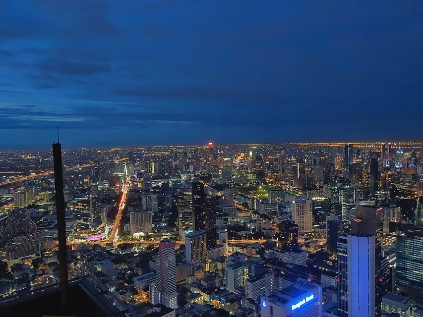
On a world map, Bangkok is in Southeast Asia, in the Northern and Eastern hemispheres, at about 13.76 degrees north and 100.50 degrees east. Look for Thailand in the middle of the mainland between India and China, then find the Gulf of Thailand, the arm of the South China Sea that pushes up into the country: Bangkok sits just north of the top of that gulf, on the Chao Phraya River, about 40 km (25 miles) inland.
Bangkok is Thailand's capital and by far its largest city, and it lies in the country's central plain rather than on the coast, which is why the river, not the sea, shapes it.
Bangkok's coordinates
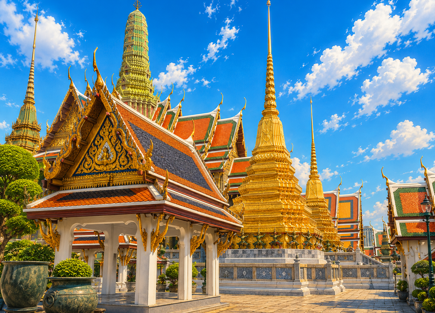
Google Maps places the center of Bangkok at 13.7563° N, 100.5018° E. In degrees and minutes that is roughly 13° 45′ N, 100° 30′ E. Individual landmarks give slightly different readings, because the city covers a large area: the Grand Palace is at about 13.750° N, 100.492° E, and City Hall, the seat of the Bangkok Metropolitan Administration in Phra Nakhon, is at about 13.753° N, 100.502° E.
A latitude of 13.76° N puts Bangkok roughly 1,530 km north of the equator, well inside the tropics. It is at a similar latitude to Manila in the Philippines and Chennai in India.
Where Bangkok is in Thailand
Thailand has a main section in the north and a long peninsular tail in the south. Its main part borders Myanmar to the west, Laos to the north and east, and Cambodia to the southeast, with the Gulf of Thailand to the south; the peninsula runs down the Malay Peninsula to the border with Malaysia.
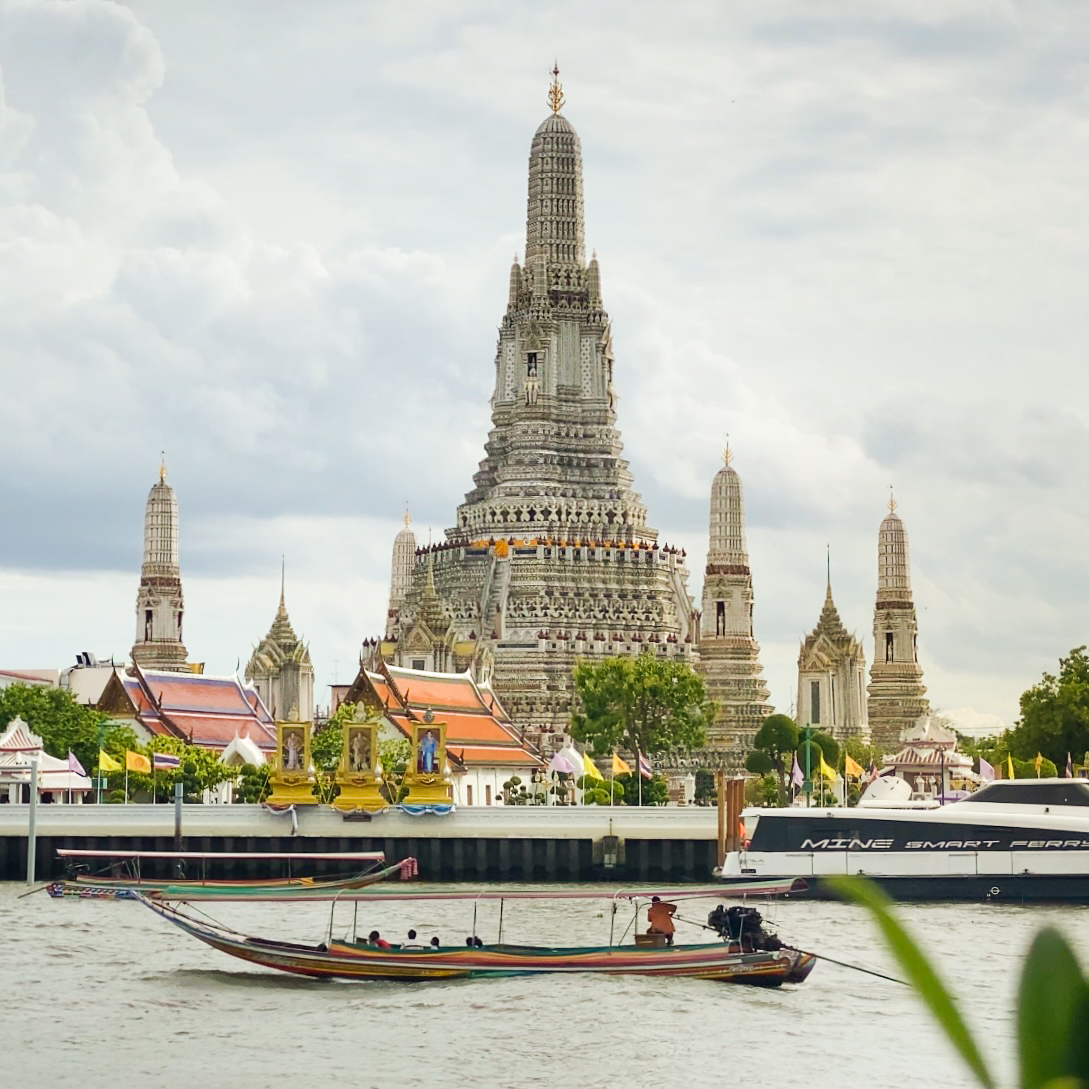
Bangkok sits near where those two parts meet, at the head of the gulf and on the delta of the Chao Phraya, the river that drains Thailand's central plain. That position explains a lot about the city. The old royal quarter of Rattanakosin, with the Grand Palace and Wat Pho, is on the east bank of the river; Wat Arun faces it from the west bank, in what was once the separate town of Thon Buri. The two were united as one city-province in 1971, and in 1972 the city and two surrounding provinces were merged into a single province called Krung Thep Maha Nakhon, the capital's official Thai name.
Bangkok in Southeast Asia and the world
On a map of Southeast Asia, Bangkok is close to the middle of the mainland, which is one reason it works as a regional hub for flights. Straight-line distances from the city center, calculated from coordinates, give a sense of its place:
| City | Approximate straight-line distance from Bangkok |
|---|---|
| Singapore | 1,430 km (890 miles) |
| Hong Kong | 1,730 km (1,070 miles) |
| Delhi | 2,920 km (1,810 miles) |
| Tokyo | 4,600 km (2,860 miles) |
| Dubai | 4,880 km (3,030 miles) |
| Sydney | 7,540 km (4,690 miles) |
| London | 9,530 km (5,920 miles) |
| New York | 13,930 km (8,660 miles) |
Flight routes are longer than these great-circle figures, so treat them as a guide to scale rather than travel time.
Bangkok runs on Indochina Time, seven hours ahead of UTC, and Thailand does not use daylight saving time. That puts Bangkok 11 or 12 hours ahead of New York depending on the season, and 6 or 7 hours ahead of London.
Finding your way once you arrive
A map of the city itself matters more than the world map once you land. Bangkok is flat and spread out, so most visitors think in terms of rail lines and the river. The Chao Phraya runs roughly north to south through the western side of the center, with the Old City on its east bank; the business districts of Silom and Sathorn and the shopping streets around Siam lie to the east, and the long Sukhumvit corridor runs further east still.
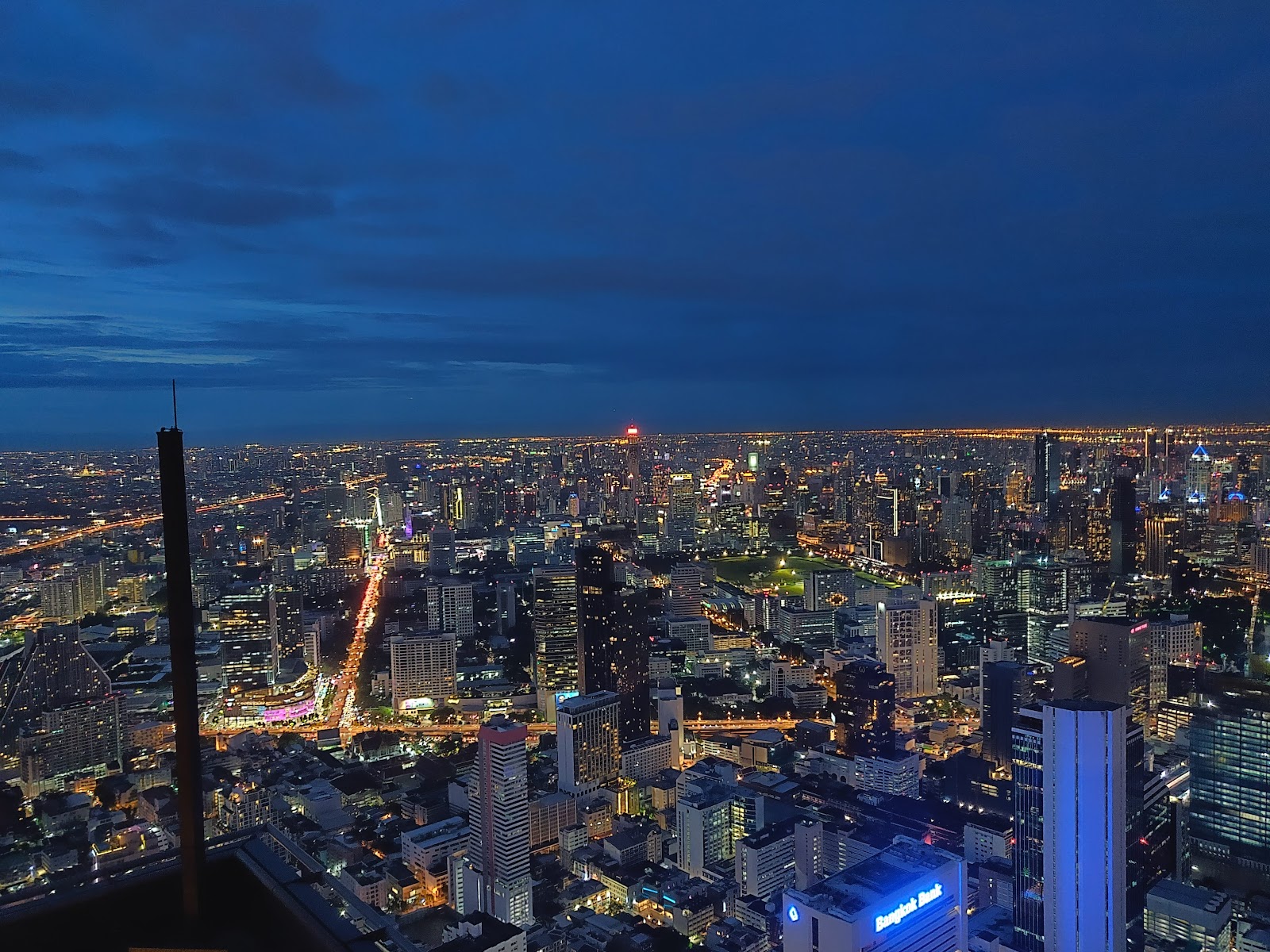
Good reference points are the Grand Palace in the Old City, Lumphini Park between Silom and Sathorn, and Chatuchak Weekend Market in the north. For a view of the whole layout at once, the Mahanakhon SkyWalk in Silom looks out over the river and the city from its rooftop deck. Our Bangkok attractions guide groups the main sights by area, and our Bangkok hotels page helps you choose a base.
Sources: Encyclopaedia Britannica: Bangkok, Encyclopaedia Britannica: Thailand, Google Maps, timeanddate.com: Bangkok time zone. Checked September 26, 2026.
Google Maps places the center of Bangkok at 13.7563° N, 100.5018° E, or roughly 13° 45′ N, 100° 30′ E.
Asia. Bangkok is in Southeast Asia, on the mainland, in the Northern and Eastern hemispheres.
No. Bangkok is on the delta of the Chao Phraya River, about 40 km (25 miles) from the Gulf of Thailand, which lies to the south of the city.
Myanmar to the west, Laos to the north and east, Cambodia to the southeast and Malaysia to the south, at the end of the peninsula.
Its official Thai name is Krung Thep Maha Nakhon, the name given to the merged city-province in 1972. It is often shortened to Krung Thep.
Indochina Time, UTC plus 7 hours, with no daylight saving time.
About 1,430 km (890 miles) in a straight line between the two city centers.