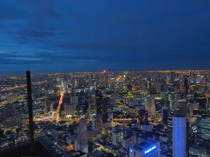
How big is Bangkok? The city covers about 1,569 square kilometers (roughly 606 square miles), divided into 50 districts. Its registered population was 5,494,932 at the end of 2022, according to Bangkok Metropolitan Administration statistics drawn from the national civil registry. The number of people who actually live there is higher: the last full national census, in 2010, counted 8.3 million people in Bangkok, because many residents are registered at a family home elsewhere in Thailand.
Here is what those numbers mean, how the districts compare, and why the size of the city matters when you plan a trip.
Bangkok's area
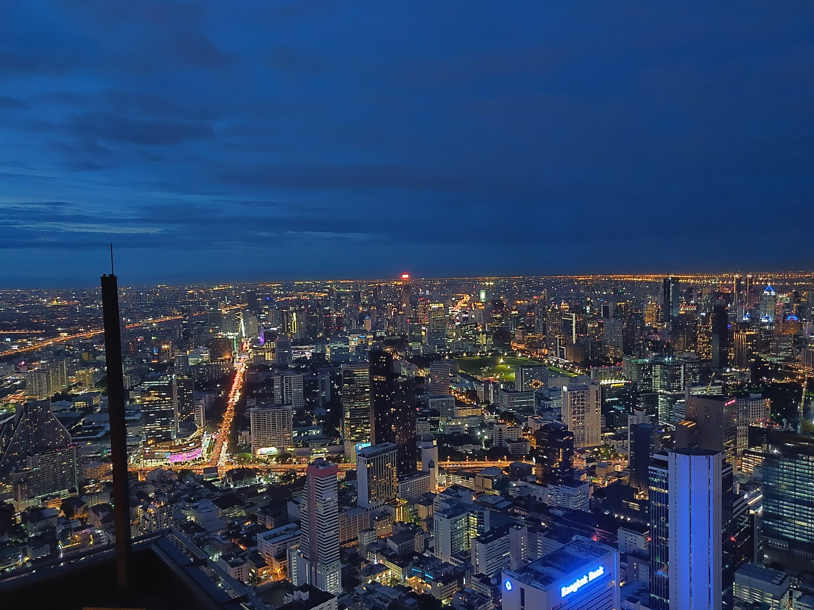
The National Statistical Office gives Bangkok's area as 1,568.7 square kilometers, and the Bangkok Metropolitan Administration's district-by-district figures add up to the same total. Bangkok is a province in its own right, run by the BMA and an elected governor, and it borders six other provinces: Nonthaburi, Pathum Thani, Chachoengsao, Samut Prakan, Samut Sakhon and Nakhon Pathom. The built-up area spills across those borders, so the city you see from a rooftop is larger than the administrative city.
The Chao Phraya River splits Bangkok in two. Thirty-five districts lie on the east bank, including the historic center and the modern business districts, and fifteen lie on the west bank, the Thonburi side.
How many people live in Bangkok?
There are two useful answers, and they measure different things.
- Registered population: 5,494,932 (December 2022). This is the count of people whose house registration is in Bangkok: 2,571,974 men and 2,922,958 women, according to the BMA's 2022 statistics, which use figures from the Department of Provincial Administration. The registered total peaked at about 5.72 million in 2007 and has drifted down since.
- Census population: 8,305,218 (2010). The National Statistical Office's 2010 Population and Housing Census counted everyone living in Bangkok, whether or not they were registered there. The gap of almost 3 million people reflects how many residents keep their registration in their home province.
Look wider and the numbers grow again. Bangkok and its five neighboring vicinity provinces had 10,863,917 registered residents in 2022, before counting unregistered residents.
Density
Using registered residents, Bangkok has about 3,500 people per square kilometer. The 2010 census, which counted where people actually lived, put the figure at 5,294 per square kilometer, by far the highest of any region of Thailand. Density varies enormously between districts, as the table below shows.
Bangkok's districts compared
| District | Why it stands out | Figure (2022) |
|---|---|---|
| Nong Chok | Largest by area, on the eastern edge | 236.3 sq km |
| Samphanthawong | Smallest by area and population; covers much of Chinatown | 1.4 sq km; 20,168 people |
| Khlong Sam Wa | Most registered residents | 209,120 people |
| Pom Prap Sattru Phai | Most densely populated | about 20,357 people per sq km |
| Phra Nakhon | The Old City, with the Grand Palace | 5.5 sq km; 41,646 people |
The pattern is typical of a big Asian capital: the historic core is small and, by registration at least, thinly populated, while the most populous districts, such as Khlong Sam Wa, Sai Mai and Bang Khae, are on the outskirts.
What Bangkok's size means for visitors
Most of what visitors come for is packed into a small fraction of the city. Phra Nakhon, home to the Grand Palace and Wat Pho, Bang Rak on the river, and Pathum Wan, around Siam and Lumphini Park, together cover about 19 square kilometers, a little over 1% of Bangkok's area. Choosing a hotel in or near those districts, or next to a rail line, matters more than the city's overall size. Our Bangkok hotels guide is organized with that in mind.
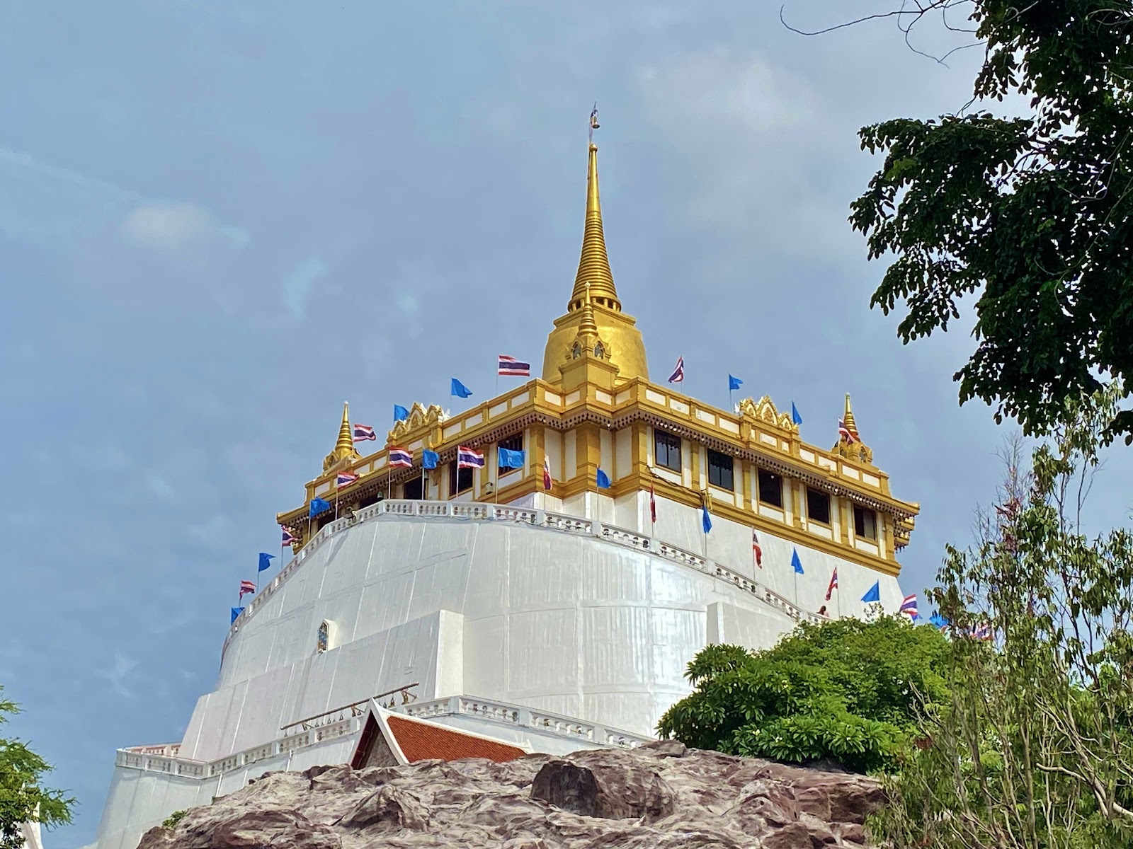
For a sense of scale, the best viewpoints are high and central. The glass-floored rooftop of the Mahanakhon SkyWalk in Bang Rak sits about 310 meters above the street, and the Golden Mount at Wat Saket, the only hill in the city, looks back over the low rooftops of the Old City.
Distances on a map can mislead in a city this large. Two places that look close may be separated by the river or by an expressway, and road traffic can make a short taxi ride slow. Where you can, use the BTS Skytrain, the MRT or the Chao Phraya river boats between districts. For ideas on what to see once you have your bearings, browse Bangkok attractions.
Sources: Bangkok Metropolitan Administration: Bangkok Statistics 2022 (population, area and density by district, from the Department of Provincial Administration and the BMA City Planning Department), National Statistical Office: 2010 Population and Housing Census, Bangkok (Wikipedia). Checked September 26, 2026.
About 1,568.7 square kilometers, or roughly 606 square miles, according to the National Statistical Office. The city is divided into 50 districts.
The registered population was 5,494,932 in December 2022, according to Bangkok Metropolitan Administration statistics. The 2010 national census, which counted everyone living in the city, found 8,305,218 people.
The registered figure counts people whose house registration is in Bangkok. Many residents are registered in their home provinces, so the census, which counts where people actually live, gives a much higher number.
Fifty districts, called khet, which are divided into 180 sub-districts, called khwaeng. Thirty-five districts are on the east bank of the Chao Phraya and fifteen on the Thonburi side.
Nong Chok, on the eastern edge of the city, at about 236 square kilometers. The smallest is Samphanthawong, which covers much of Chinatown, at about 1.4 square kilometers.
Nonthaburi, Pathum Thani, Chachoengsao, Samut Prakan, Samut Sakhon and Nakhon Pathom.
The built-up area extends into neighboring provinces. Bangkok and its five vicinity provinces had 10,863,917 registered residents in 2022.