How far is Khon Kaen from Bangkok? About 450 kilometers by road, heading north-east into the Isan region, and around 390 kilometers in a straight line. On the railway, Khon Kaen station sits 449.75 kilometers from Bangkok's old Hua Lamphong terminus. The quickest way to cover it is a direct flight of just over an hour; the train, long-distance buses and the drive up Highway 2 are the ground options.
Here is how the distance breaks down for each way of making the trip, and where each one starts in Bangkok.
The distance at a glance
| Measure | Distance | Notes |
|---|---|---|
| Straight line | About 390 km | Calculated from the published coordinates of both cities; Khon Kaen lies north-east of Bangkok |
| By road | About 450 km | Highway 1 north to Saraburi, then Highway 2 (Mittraphap Road) |
| By rail | 449.75 km | Measured from Bangkok's original railway station on the Northeastern Line |
| By air | Scheduled flights of about 1 hour 5 to 1 hour 15 minutes | From Don Mueang or Suvarnabhumi |
Khon Kaen is the fourth-largest city in Thailand and the capital of Khon Kaen province. It sits on the Khorat Plateau at an elevation of 187 meters, which is why the road and rail lines both climb away from the central plain before they reach it.
Flying: the fastest option
Khon Kaen Airport (KKC) is served from both of Bangkok's airports, so check which one your ticket uses before you set off.
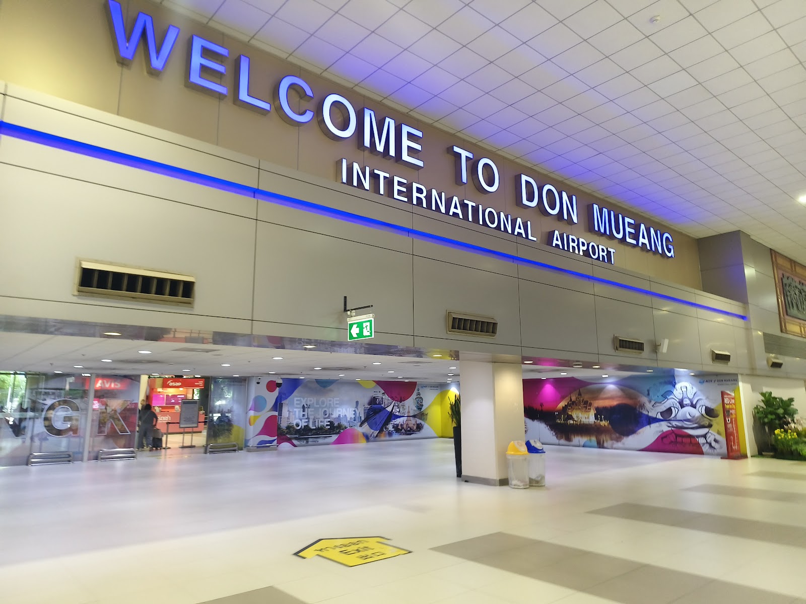
- From Don Mueang (DMK): AirAsia sells direct flights to Khon Kaen, scheduled at roughly 1 hour 5 to 1 hour 15 minutes. Don Mueang is inside the City of Bangkok, in the north, and has its own stop on the SRT Dark Red Line. Our guide to getting between Don Mueang Airport and the city covers the connections.
- From Suvarnabhumi (BKK): Thai Airways sells Bangkok to Khon Kaen fares from Suvarnabhumi, the main international airport east of the city.
If you are connecting from an international arrival, the airport you land at usually decides the choice. If not, compare the two using our piece on which Bangkok airport is better. Remember to add the time it takes to reach either airport through Bangkok traffic; the flight itself is the short part of the day.
By train on the Northeastern Line
Khon Kaen is a class 1 station on the State Railway of Thailand's Northeastern Line. The line reached Khon Kaen from Nakhon Ratchasima on April 1, 1933, and was extended to Udon Thani in 1941. In 2019 the station was rebuilt as the first elevated station in the north-east, as part of the double-track project between Thanon Chira Junction and Khon Kaen.
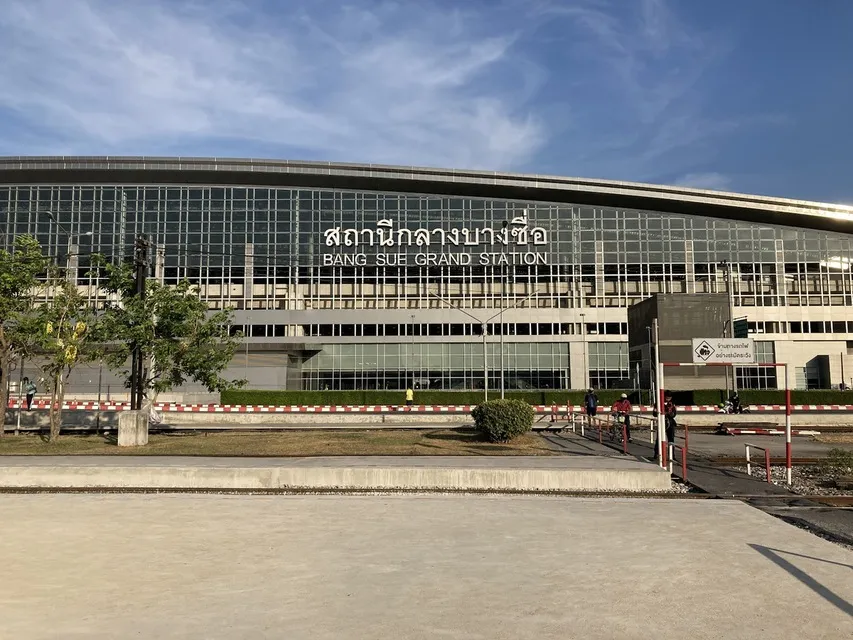
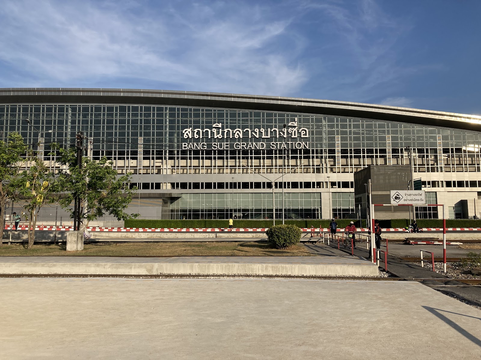
Long-distance trains no longer start at Hua Lamphong. Since January 19, 2023 they have used Krung Thep Aphiwat Central Terminal in Chatuchak, north Bangkok, which connects to the MRT Blue Line at Bang Sue and to the SRT Red Lines. The Northeastern Line then runs north past Don Mueang, which has its own station next to the airport.
The train suits travelers who want to see the countryside rather than the inside of an airport. Check current timetables and book seats with the State Railway of Thailand before you travel, especially around Thai public holidays.
By bus from Mo Chit
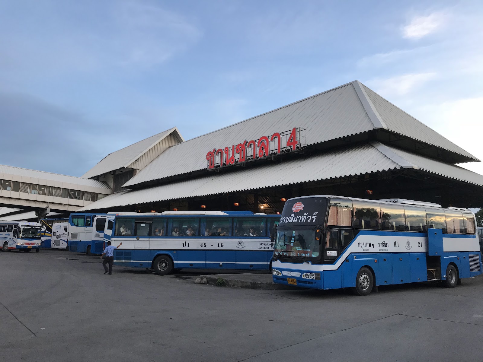
Buses to Khon Kaen leave from the Bangkok Bus Terminal (Chatuchak), better known as Mo Chit 2, on Kamphaeng Phet 2 Road. Run by the state-owned Transport Co., it is the main gateway to the northern and north-eastern provinces for travelers going by bus, and the Isan ticket counters are on the third floor. The terminal is in the same district as the Chatuchak Weekend Market, near Queen Sirikit Park.
In Khon Kaen, the main bus station sits on the Highway 230 bypass on the western side of the city, rather than downtown, so plan a short onward ride to your hotel.
Driving yourself
By car, the usual route follows Highway 1 (Phahonyothin Road) north out of Bangkok to Saraburi, then Highway 2, the Mittraphap or "Friendship" Highway, through Nakhon Ratchasima to Khon Kaen. Highway 2 continues north to Udon Thani and the Thai-Lao Friendship Bridge at Nong Khai, and it runs straight through the middle of Khon Kaen city. Bangkok's own traffic is the least predictable part of the drive, so leave early.
Which way should you go?
- Short trip or tight schedule: fly, and pick the airport closer to where you are staying in Bangkok.
- Scenery on the way: take the train from Krung Thep Aphiwat.
- Straight to Khon Kaen's bus station: take a bus from Mo Chit 2.
- Onward travel in Isan: a rental car or the Highway 2 bus corridor makes it easy to continue to Udon Thani or Nong Khai.
If you are spending a night or two in Bangkok before or after, browse our Bangkok hotel guides, and see how to get to Chiang Rai from Bangkok if you are planning a wider loop through the north.
Sources: Khon Kaen (Wikipedia), Khon Kaen railway station (Wikipedia), Northeastern Line (Wikipedia), Krung Thep Aphiwat Central Terminal (Wikipedia), Bangkok Bus Terminal, Chatuchak (Wikipedia), Thailand Route 2 (Wikipedia), Bangkok coordinates (Wikipedia), AirAsia, Bangkok (DMK) to Khon Kaen, Thai Airways, Bangkok to Khon Kaen, SRT Electrified Train, Red Line stations. Checked September 26, 2026.
About 450 km by road and 449.75 km by rail, measured from Bangkok's original Hua Lamphong station. In a straight line the distance is about 390 km, north-east of Bangkok.
AirAsia's direct flights from Don Mueang are scheduled at about 1 hour 5 minutes to 1 hour 15 minutes. Thai Airways also sells Bangkok to Khon Kaen fares from Suvarnabhumi.
Long-distance trains, including those on the Northeastern Line to Khon Kaen, have used Krung Thep Aphiwat Central Terminal in Chatuchak since January 19, 2023. It links to the MRT Blue Line at Bang Sue and to the SRT Red Lines.
From the Bangkok Bus Terminal (Chatuchak), known as Mo Chit 2, on Kamphaeng Phet 2 Road. The Isan ticket counters are on the third floor.
Highway 1 north to Saraburi, then Highway 2, the Mittraphap (Friendship) Highway, through Nakhon Ratchasima to Khon Kaen.
It is a long way for a day trip: about 450 km each way by road. A flight in each direction makes a same-day return possible, but an overnight stay leaves time to see the city itself.