What does Bangkok look like? Picture a flat, sprawling river city where gilded temple spires and tiled roofs stand a short boat ride from glass towers, elevated train lines run above the main roads, and green parks open up between the high-rises. The Chao Phraya River curves through the middle, with the Old City's palaces and temples on its banks, Chinatown's shophouses just downstream, and the business districts of Silom, Sathorn and Sukhumvit stretching away to the east.
It is a city of strong contrasts rather than one look. Here is what you actually see in its main areas, so you can picture the Bangkok you will be arriving in.
The river and the Old City: spires, prangs and golden roofs
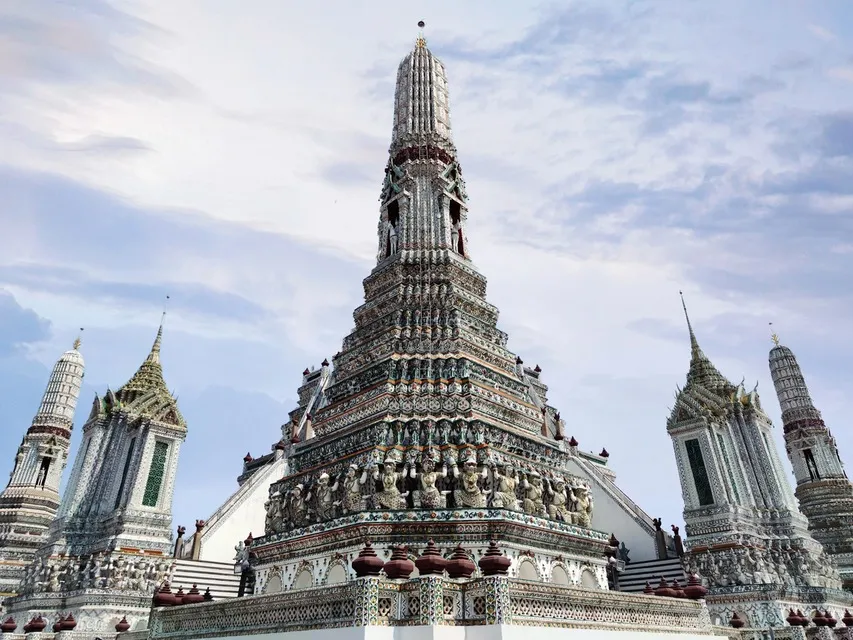
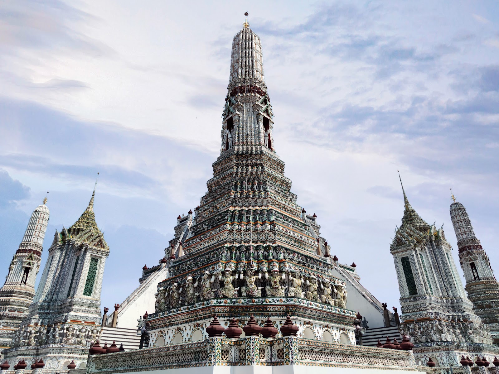
The postcard view of Bangkok is the river. On the west bank, in Bangkok Yai district, Wat Arun rises in tiers of pale, ornamented stonework from the water's edge. Across the river, the Rattanakosin area, often called the Old City, holds the Grand Palace, with the Temple of the Emerald Buddha inside its outer walls, and Wat Pho next door.
This part of the city looks nothing like the skyline districts. Buildings are low, roofs are steep and layered, and the colors are gold, white, orange and green glazed tile. Boats of every size, from long-tail boats to the Chao Phraya Express Boat and hotel shuttles, move along the brown river water in front of it all. For more on the river itself, see what river runs through Bangkok.
Chinatown: shophouses, signs and narrow lanes
Downstream from the Old City, Chinatown centers on Yaowarat Road in Samphanthawong district. Here the city turns into rows of two- and three-story shophouses with shops on the ground floor, big vertical signs in Chinese and Thai characters, gold shops, and lanes so narrow that stalls and delivery carts share them with pedestrians. After dark the signs light up and food stalls take over the pavements. Wat Traimit, home of the Golden Buddha, is in the same district.
The skyline: towers, malls and the SkyTrain
East of the river and Chinatown, Bangkok goes vertical. Silom and Sathorn are the business district, with office and hotel towers along wide roads. The most recognizable building is King Power Mahanakhon, whose owners describe it as one of Thailand's tallest buildings and the home of Bangkok's highest observation deck; its outline looks as if pixel-sized blocks have been cut out of the glass. From its Mahanakhon SkyWalk you can see how far the city spreads in every direction, with no hills to break it up.
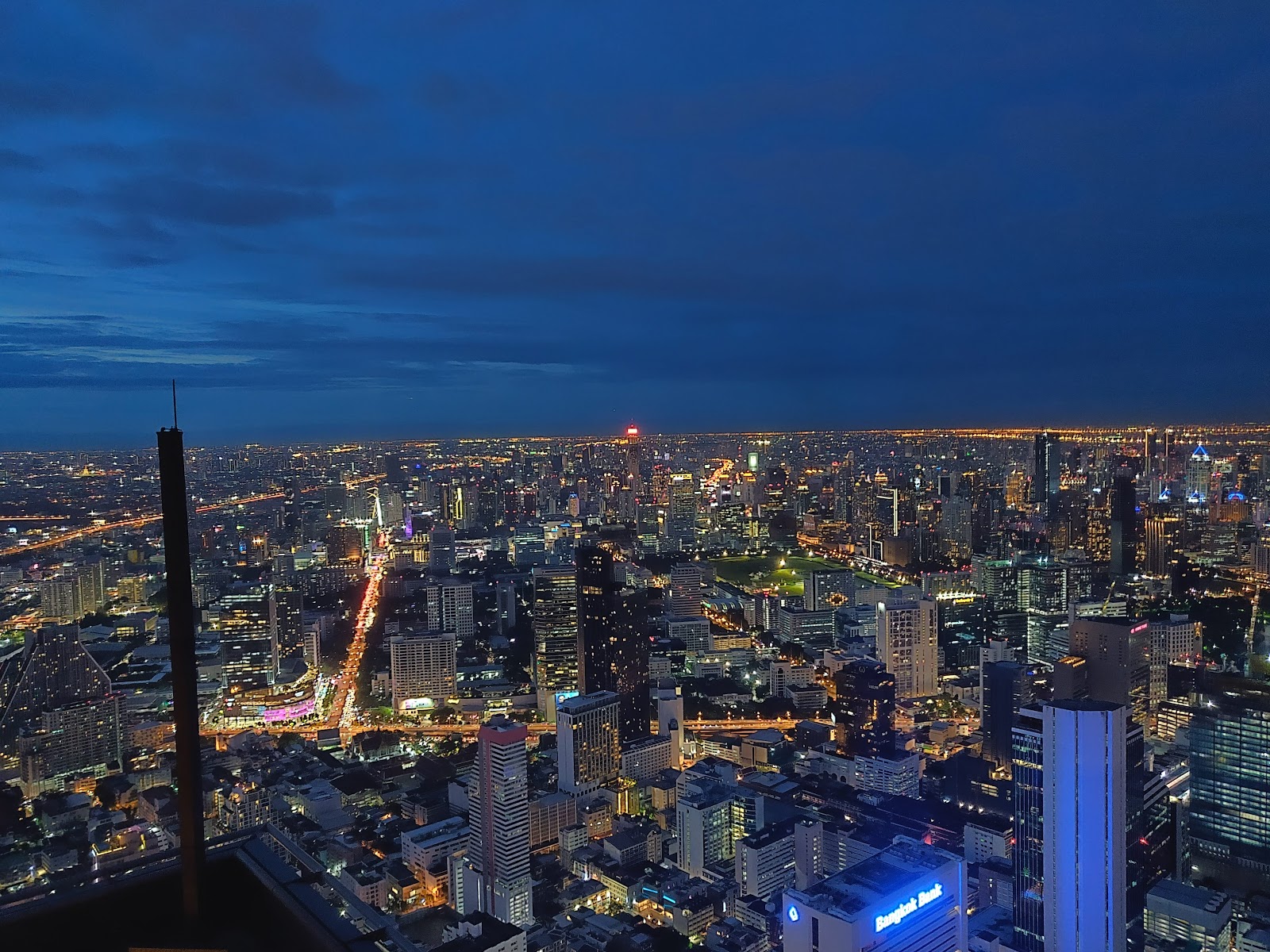
Further north and east, the Siam and Ratchaprasong shopping area and the long Sukhumvit corridor are lined with malls, hotels and condominium towers. A defining feature of these districts is the BTS SkyTrain, whose concrete viaducts run above the main roads, with walkways linking stations to malls. Street level below is busy with traffic, motorcycle taxis and food stalls.
Step off the main roads and the scale drops quickly. Much of Bangkok is made up of side streets (soi) lined with low apartment blocks, older houses, small shops and restaurants, with bundles of overhead cables, potted plants and parked motorbikes along the edges. A single block can hold a luxury condominium tower and a row of family shophouses, which is one of the things visitors notice most.
Green spaces between the towers
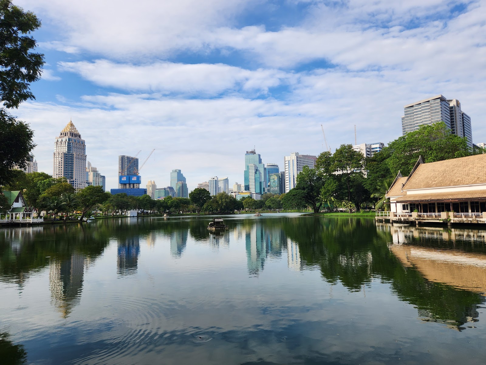
Bangkok is often described as all concrete, but its big parks change the picture. Lumphini Park, on the edge of Silom, has a large lake ringed by trees with the skyline reflected in the water. Benjakitti Forest Park, near Sukhumvit, has another large lake and landscaped grounds, and temple compounds add smaller patches of green across the older districts.
A low, flat city on a river plain
Bangkok sits on the flat plain of the Chao Phraya close to the Gulf of Thailand, and it is very low-lying: GeoNames gives the central city an elevation of roughly 12 meters. That flatness shapes the view. There are no hills or ridges, so the only high viewpoints are rooftops, observation decks and a few temple mounds such as the Golden Mount at Wat Saket. It also explains the network of canals (khlong) that once carried much of the city's traffic, and why flooding and subsidence are recurring concerns; see why Bangkok is sinking.
How Bangkok looks through the year
The same view can look quite different by season. On clear days the skyline is sharp to the horizon. In the dry months, roughly November to March, haze from fine-particle pollution can soften it; our guide to Bangkok's air quality explains when and why. In the rainy season, storm clouds are a common sight and the parks and temple gardens are at their greenest.
At night, Bangkok's look changes again: the temples along the river are floodlit, the towers light up, and the markets and street-food lanes come alive. To see it for yourself, start with our Bangkok attractions.
Sources: The Grand Palace, King Power Mahanakhon, GeoNames: Bangkok, Pollution Control Department 2025 station report, place locations from Google Maps. Checked September 26, 2026.
Parts of it are very modern. Silom, Sathorn, Siam and Sukhumvit are districts of glass towers, large malls and an elevated rail network, while the Old City and Chinatown keep low temples, palaces and shophouses.
No. Bangkok is flat and low-lying, on the plain of the Chao Phraya River near the Gulf of Thailand. GeoNames gives the central city an elevation of about 12 meters. The main high viewpoints are rooftops, observation decks and temple mounds such as the Golden Mount.
King Power Mahanakhon's SkyWalk, which its operator describes as Bangkok's highest observation deck, gives the widest view. The operator lists SkyWalk hours of 10 a.m. to midnight and tickets from 500 to 1,200 baht, varying by time of day.
The west bank, in Bangkok Yai district, across the Chao Phraya from the Grand Palace and Wat Pho on the east bank.
Sometimes, mainly in the dry months. In the Pollution Control Department's 2025 figures for its Rama IV Road station, every day above the PM2.5 standard fell between November and March; from April to October readings stayed within the standard.
Several large ones, including Lumphini Park near Silom and Benjakitti Forest Park near Sukhumvit, both built around lakes, plus smaller green spaces and temple grounds across the city.