The absolute location of Bangkok, Thailand, is about 13.75° N latitude and 100.50° E longitude. In degrees, minutes and seconds, the GeoNames geographical database places the city at 13°45′14″ N, 100°30′05″ E (13.75398, 100.50144), a point in the old center of the city close to the Chao Phraya River. Those two numbers put Bangkok in the Northern and Eastern Hemispheres, well inside the tropics, and seven hours ahead of Greenwich Mean Time.
Absolute location means a position given by coordinates, which stays the same whatever surrounds it. Relative location describes the same place by what is around it: Bangkok sits on the lower Chao Phraya, in the flat Central Plain of Thailand, north of the Gulf of Thailand. Both are useful, and this guide covers each.
Bangkok's coordinates explained
Latitude: 13.75° North
Latitude measures distance north or south of the equator. At about 13.75° N, Bangkok is roughly 1,530 kilometers north of the equator (each degree of latitude is about 111 kilometers) and about 10 degrees south of the Tropic of Cancer at 23.44° N. That places the city firmly in the tropics, which is why the length of the day changes little through the year and why the sun is high overhead at midday.
Longitude: 100.50° East
Longitude measures distance east or west of the prime meridian at Greenwich. At about 100.5° E, Bangkok lies at almost the same longitude as the island of Penang in Malaysia, far to the south. The city keeps Indochina Time, UTC+7, all year; Thailand does not use daylight saving time.
Elevation
GeoNames gives the elevation at its reference point as about 12 meters, based on satellite terrain data. Bangkok is a low-lying city on a river delta, which matters for drainage in the rainy season.
Why different sources give slightly different coordinates
A city covers a large area, so any single pair of coordinates is a reference point, not the whole city. Atlases, map apps and gazetteers each choose their own point, usually somewhere in the historic center, so you will see figures such as 13.75° N, 100.50° E or 13.76° N, 100.50° E. The differences are a few hundred meters and do not change the answer.
For a more precise answer, name a landmark. Here are the coordinates Google Places records for some well-known Bangkok sights, rounded to four decimal places:
| Place | Latitude (N) | Longitude (E) |
|---|---|---|
| The Grand Palace | 13.7499 | 100.4916 |
| Wat Pho | 13.7464 | 100.4928 |
| Wat Arun | 13.7439 | 100.4884 |
| Lumphini Park | 13.7314 | 100.5417 |
| King Power Mahanakhon | 13.7242 | 100.5283 |
| Chatuchak Weekend Market | 13.7998 | 100.5504 |
| Don Mueang International Airport | 13.9150 | 100.6055 |
The table also shows how the city spreads out: the Grand Palace and Chatuchak are about 0.05 degrees of latitude apart, roughly 5.5 kilometers north to south, and Don Mueang, still inside the city limits, is almost 0.17 degrees north of the palace.
Bangkok's relative location
The Thai Meteorological Department places Bangkok in the Central Part of Thailand, a large, low plain. The Ping, Wang, Yom and Nan rivers from the north join at Nakhon Sawan to form the Chao Phraya, which flows south through Bangkok toward the Gulf of Thailand.
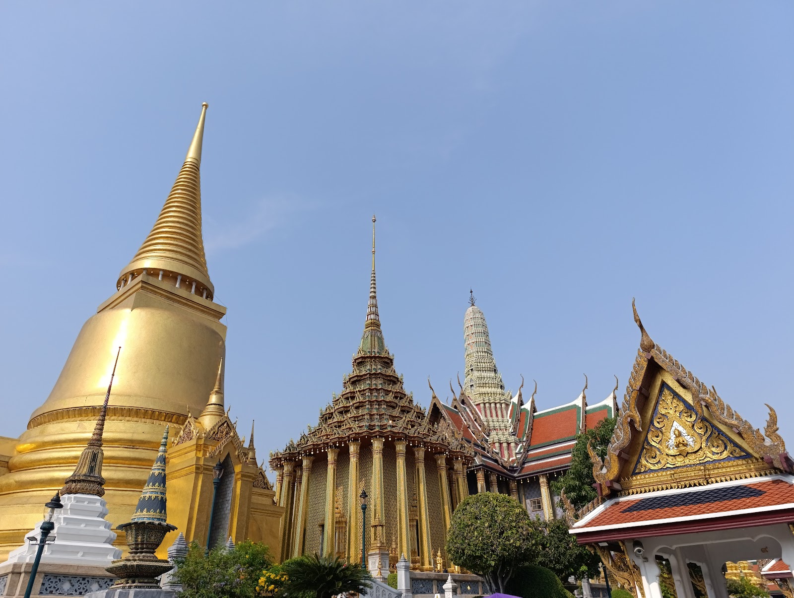
The river is the key to the city's layout. The Grand Palace and the Old City of Rattanakosin sit on its east bank, with Wat Arun and the older Thonburi side opposite. Downstream, the river curves past the business districts of Bang Rak and Sathorn. Bangkok is the country's capital and largest city, and its neighbors include Nonthaburi and Pathum Thani to the north and Samut Prakan to the southeast, where Suvarnabhumi Airport is located.
How the location shapes a visit
- Climate: the tropical latitude and the monsoon give Bangkok a cooler, drier season from about mid-October to mid-February, a hot season to mid-May, and a rainy season after that, according to the Thai Meteorological Department.
- Daylight: close to the tropics, day length stays near 12 hours all year, so sunset comes early in the evening in every season.
- Getting around: because the historic sights line the river, boats are one of the best ways to travel between them. Our Bangkok attractions page groups the main sights by area.
Sources: GeoNames, Bangkok, Thai Meteorological Department, climate of Thailand, Google Places records for the landmarks listed. Checked September 26, 2026.
About 13.75° N, 100.50° E. The GeoNames gazetteer gives 13.75398° N, 100.50144° E, or 13°45′14″ N, 100°30′05″ E.
Bangkok lies on the lower Chao Phraya River in the Central Plain of Thailand, north of the Gulf of Thailand, bordered by provinces including Nonthaburi, Pathum Thani and Samut Prakan.
The Northern Hemisphere, about 13.75 degrees north of the equator, and the Eastern Hemisphere, about 100.5 degrees east of Greenwich.
Roughly 1,530 kilometers, since the city lies about 13.75 degrees north and each degree of latitude is about 111 kilometers.
Indochina Time, UTC+7, all year. Thailand does not use daylight saving time.
About 12 meters at the GeoNames reference point in the city center, based on satellite terrain data. Much of the city is low-lying delta land.